Showing posts with label female hikers. Show all posts
Showing posts with label female hikers. Show all posts
Sunday, November 3, 2019

Tuesday, May 7, 2019
Galehead, South Twin, North Twin (5-7-2019)
Union of Concerned Scientists is an organization that fights to protect the environment and promotes clean energy. To donate to UCS, click here.
Last Sunday, Mom, Alex, and I did a wonderful hike of Galehead, South Twin, and North Twin. We had to wear snowshoes most of the way, and I postholed often even while wearing them. Here is the link to the YouTube Video!
Last Sunday, Mom, Alex, and I did a wonderful hike of Galehead, South Twin, and North Twin. We had to wear snowshoes most of the way, and I postholed often even while wearing them. Here is the link to the YouTube Video!
Saturday, April 13, 2019
Mount Cabot via Bunnell Notch Trail, April 13th, 2019
Don't forget to support Union of Concerned Scientists! They help protect humans from the negative effects of climate change.

Sunday, February 24, 2019
Garfield. February 19, 2019
Road walk, Garfield Trail, 11 miles round trip with around 3150 feet of elevation gain.
My sister, Alex, also has a blog, www.alexinthewhitemountains.com. She and I take turns posting trip reports, so make sure to check out her blog as well.
Space security is a top concern in the modern world. Thousands of satellites do everything from controlling navigation apps to telling us about the weather. They are extremely important for the day-to-day lives of American citizens. Learn about how to keep satellites safe; check out this Union of Concerned Scientists article. To donate to UCS, click here.
This week I am a stretched for time with my schoolwork, so I am just going to write a summary paragraph of the hike and then include the pictures.
Mom, Alex, and I started after sunrise at the start of the road leading to the Garfield Trail trailhead. After walking a mile, we started up the trail. We were wearing snowshoes, as the snow was still soft. All of us wore snowshoes for the entire hike. We got to the halfway point, then to the switchbacks, and then to the intersection. There, we layered up, then continued to the exposed summit. On our way, we accidentally took a wrong turn and went up the wrong side of the summit cone. We had to wade through deep snow and get through some tricky bits, but we eventually made it to the summit and the old hotel structure. Alex, Mom, and I got a snack and then headed down.


 |
| Photo by Trish Herr |


Sunday, February 10, 2019
Jackson. February 6, 2019
Jackson-Webster Trail, 5.2 miles, 2,150 feet of elevation gain
The future of cars, buses, and trucks is clean energy and includes self-operating technology. Want to learn more about self-driving cars and the future of transportation? Click here to access the Union of Concerned Scientists article. To donate to UCS, click here.
We started in the daylight, and went up with the intention of finishing relatively soon, as Jackson is a short peak. Alex was not with us, as she and Mom had hiked Pierce and Eisenhower earlier in the week. Also, Mom and I ended up not using our snowshoes for the first time all winter! We didn't put them on for the entire hike.

We moved more slowly than usual, but we still made it to the first intersection before long.

Mom and I started up the steepest part of the hike...

When we were almost to the top, we started to see Grey Jays! There were two flying around us.


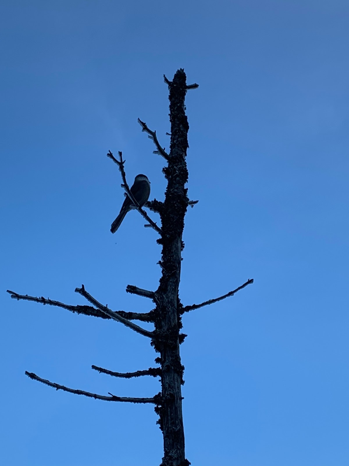
A closer look...


Looking back at the view...

Eventually we made it to the summit! It was a beautiful day, and Mom and I could see the summit buildings on Mount Washington.


 |
| Photo by Trish Herr |
The summit cairn...

Me on the summit...
 |
| Photo by Trish Herr |
Mom on the summit...

The Gray Jays followed us to the top! They hovered around us.


We had a snack while watching the birds.

Here are some more pictures of the surrounding views:


We headed down after a bit. A little while later, we stopped to look at this extremely deep posthole somebody left on the trail. It was one of the deepest I have ever seen!

Mom and I got to the intersection, drank some water, and then continued down. Before we knew it, we were at our car. It was a fast, but beautiful, hike.
Monday, December 24, 2018
Whiteface and Passaconaway. December 22, 2018
Don't forget to make your end-of-the-year donations to Union of Concerned Scientists!
Blueberry Ledge Trail, Rollins Trail, Dicey's Mill Trail.
11.9-mile loop with 3800 feet of elevation gain.
(My phone was not working this morning, so all photos were taken by Mom).
It was Mom's birthday today! She wanted to hike and we needed Whiteface and Passaconaway for the Grid, so we set out on a very rainy morning up Blueberry Ledge Trail. We had a change of clothes with us, so we let ourselves get wet and then just changed on the trail close to Whiteface's summit.
I am about to travel for Christmas vacation, so I will just post photos today. Even when we don't publish long posts, we still at least want to post photos so we have a record of our hikes. Alex and I will both get back to posting longer trip reports after the holidays.
One note, though. Rollins Trail was soft and we sunk to our knees often even though we were wearing snowshoes. It was a difficult trail today with the soft snow! Also, none of us got a clear photo of Passaconaway's summit. :(
Have a wonderful holiday, everyone! Don't forget to look at Alex's blog for other trip reports (we take turns posting).


Blueberry Ledge Trail, Rollins Trail, Dicey's Mill Trail.
11.9-mile loop with 3800 feet of elevation gain.
(My phone was not working this morning, so all photos were taken by Mom).
It was Mom's birthday today! She wanted to hike and we needed Whiteface and Passaconaway for the Grid, so we set out on a very rainy morning up Blueberry Ledge Trail. We had a change of clothes with us, so we let ourselves get wet and then just changed on the trail close to Whiteface's summit.
I am about to travel for Christmas vacation, so I will just post photos today. Even when we don't publish long posts, we still at least want to post photos so we have a record of our hikes. Alex and I will both get back to posting longer trip reports after the holidays.
One note, though. Rollins Trail was soft and we sunk to our knees often even though we were wearing snowshoes. It was a difficult trail today with the soft snow! Also, none of us got a clear photo of Passaconaway's summit. :(
Have a wonderful holiday, everyone! Don't forget to look at Alex's blog for other trip reports (we take turns posting).


Subscribe to:
Posts (Atom)